
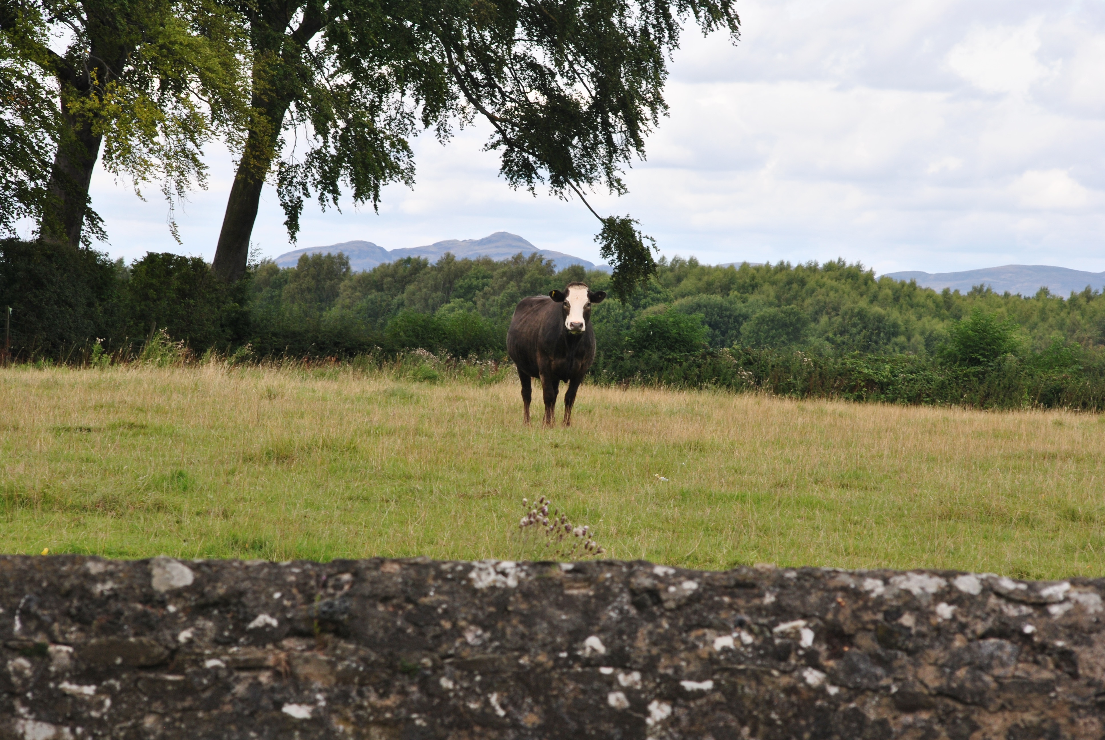
farmers
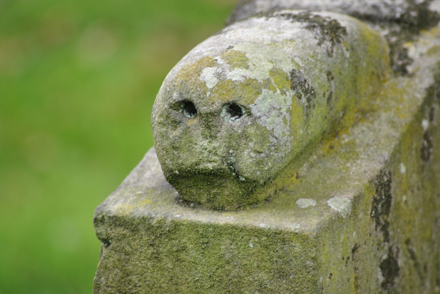
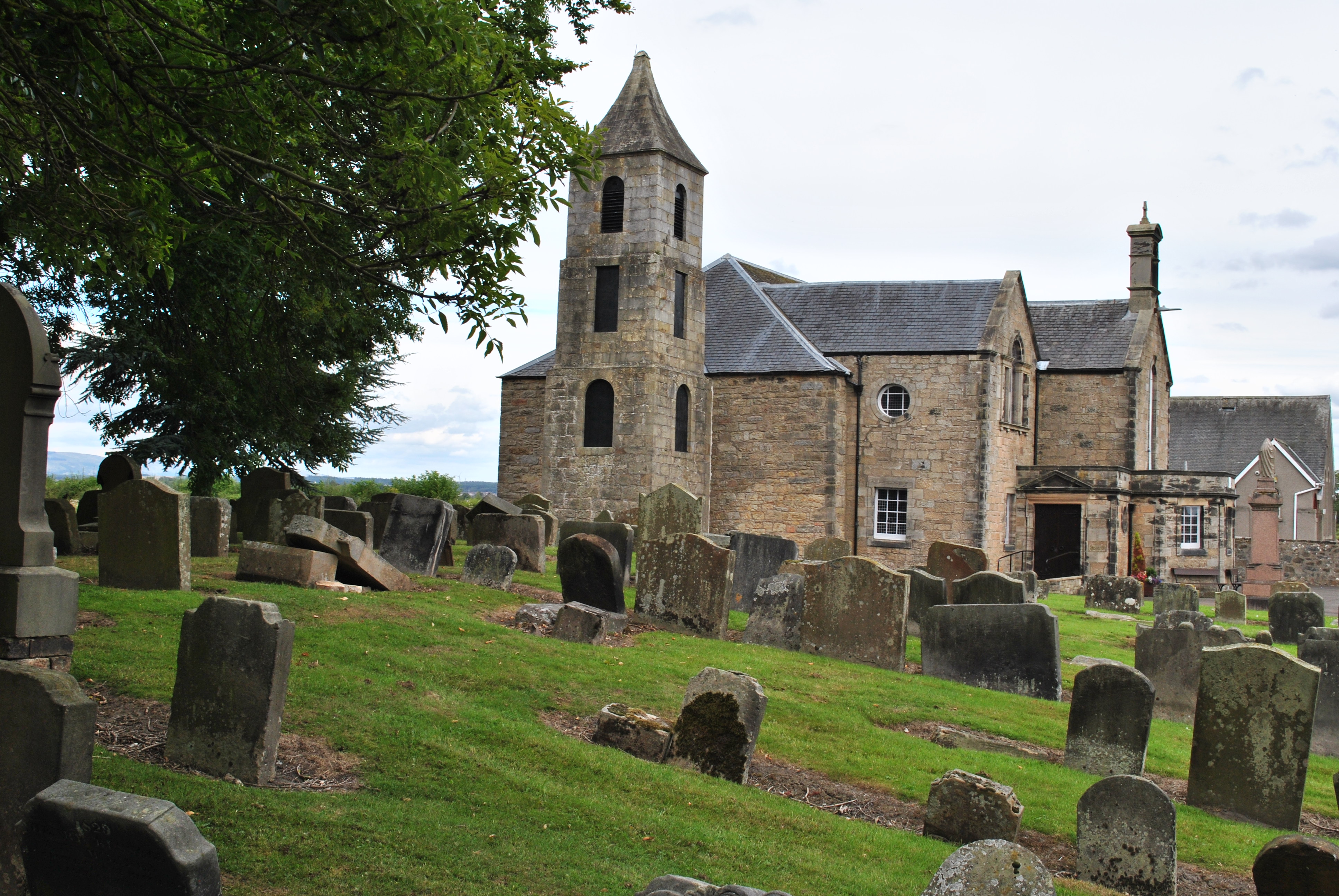
The graveyard of Bothkennar and Carronshore Parish church (founded as early as 1150) seems very rural.
This land has been farmed since King Robert the Bruce, possibly even earlier.

Rather remarkable since this was once known as the “Carselands”, an alluvial plain around the River Carron, and therefore expected to be water-logged.
Carse is a name used throughout Scotland to denote a flat, former estuarine surface lying around the head of an estuary. Scottish Sea Levels
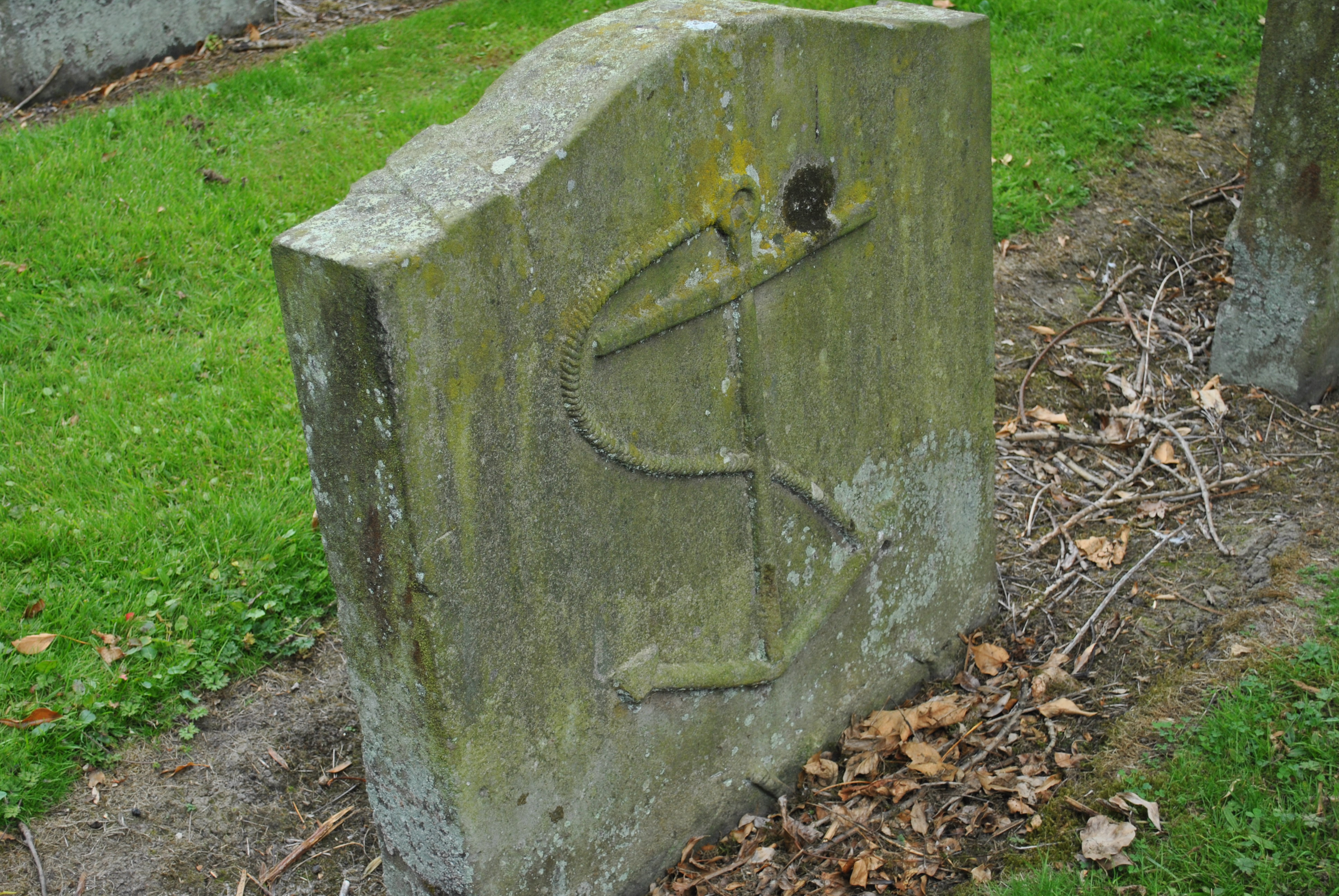
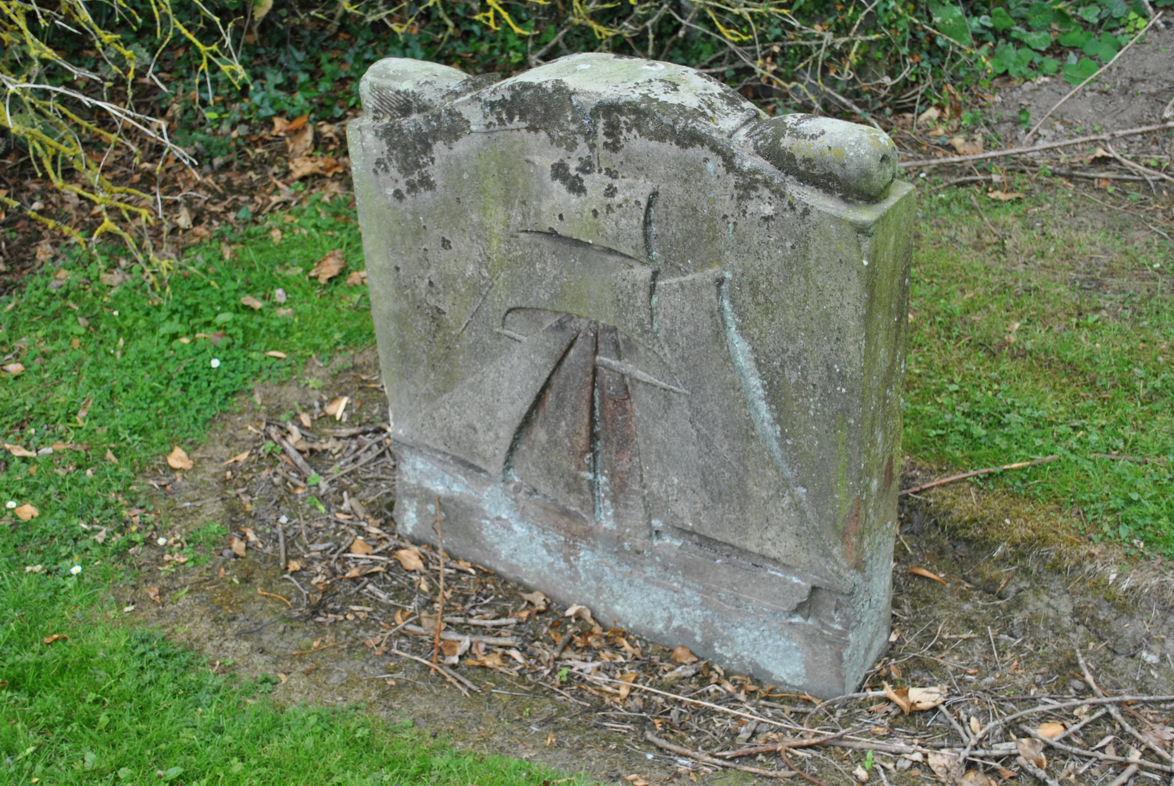
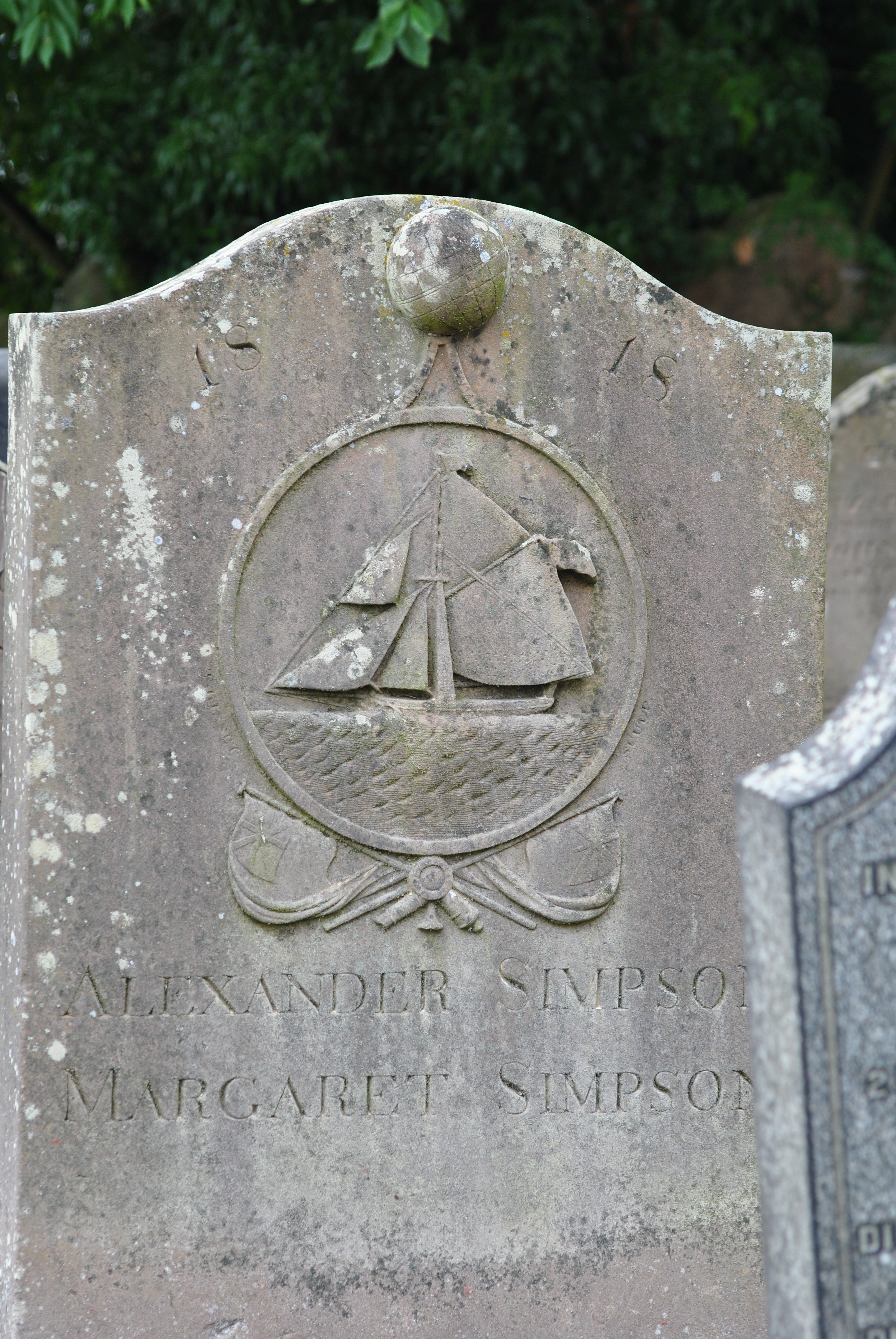
sailors
Nautical symbols throughout the graveyard tell of old and busy times at sea, which is less than two miles away as the crow flies.
So are The Kelpies which makes Bothkennar graveyard an interesting add-on to a trip to the park.
These gravestones belonged to the seamen of the former port of Carronshore.
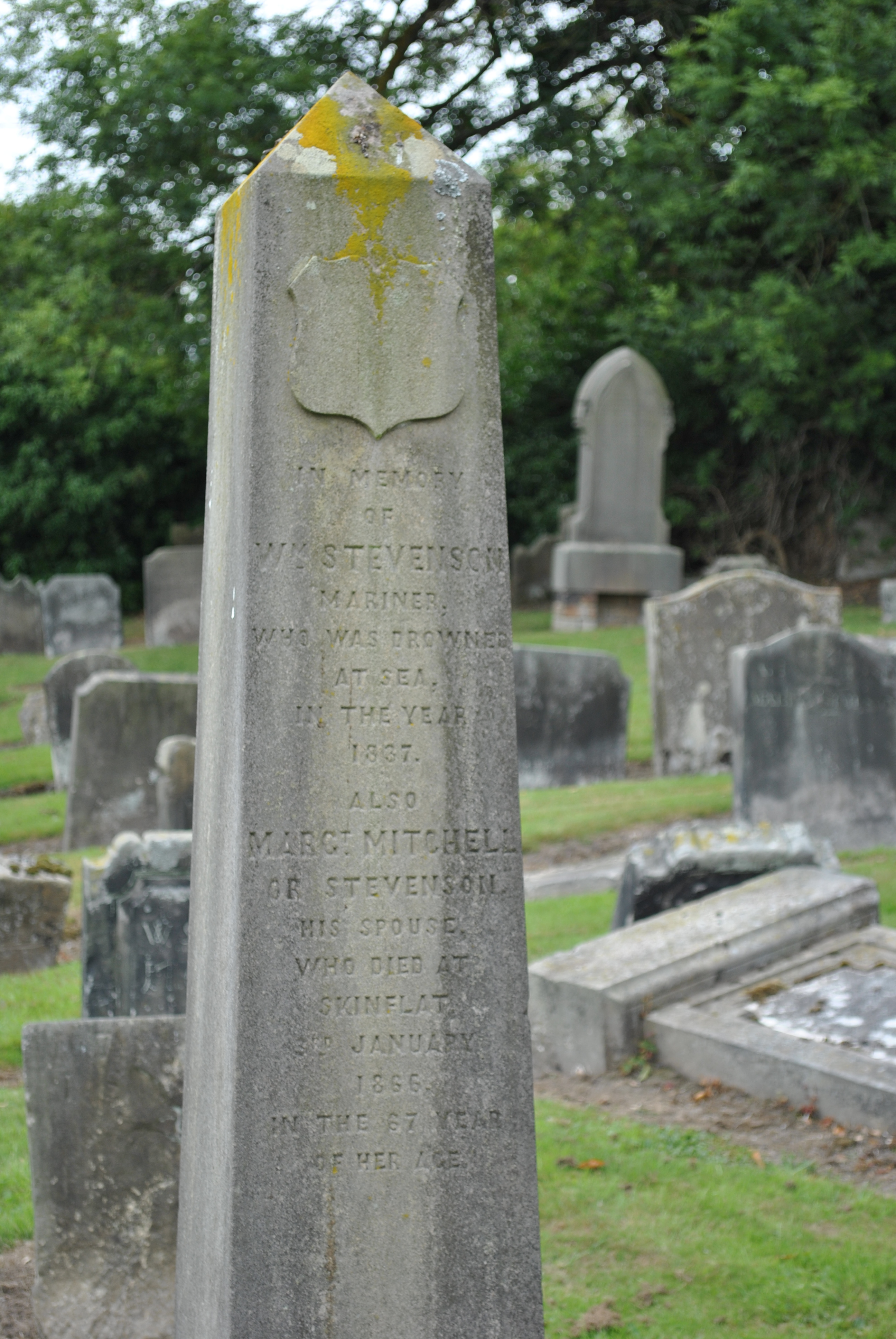
A harbour existed on the banks of the River Carron known as Quarrel Shore and its main purpose is evident in the alternative name Coal Shore which was often applied to it. Following the Industrial Revolution the port was developed by Carron Company and became known as Carronshore. The River was canalised to allow sea going vessels easier passage. The settlement known as Carronshore also grew around it and part of the village lay within the parish of Bothkennar. A small canal, arguably the first in Scotland, connected the harbour with the ironworks and around it developed a variety of ancillary activities including a rope walk, brewery, graving dock, warehouses and a granary.
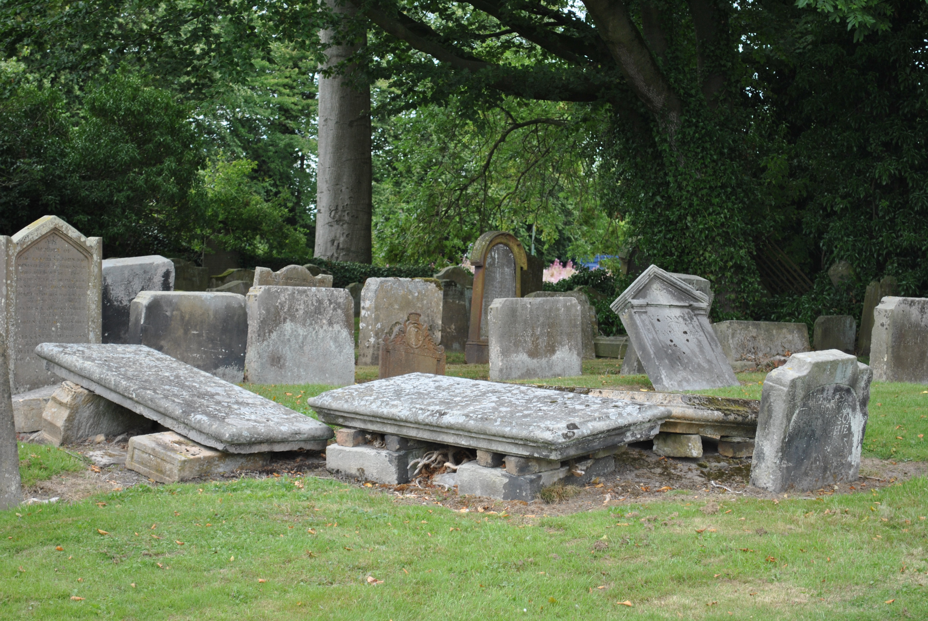
miners
The other graves belong mostly to the miners who were settled in the wee neighbouring hamlet of Skinflats and those connected to the pit.
Liked the read? There’s more here...

Scotland is a country full of history, stories and secrets. Often, the three cannot be separated. That is what makes this country so wonderful and unique. The stories of this book have been discovered and gathered for Erkenbach’s blog, Graveyards of Scotland, over many years.
Her main sources were historical travel guides from the 18th and 19th centuries, where the finds were scary, beautiful, funny, and sometimes, cruel.This unusual approach to a country’s history has produced amazing results. You don’t have to share the author’s passion for cemeteries to enjoy this book; only a small number of the stories in this collection take place in graveyards, though they do all end in them, so perhaps it helps.
The fairy hill in Inverness, a nitrate murder on Shetland, a family of left-handers, wolves, Robert the Bruce and William Wallace shown in a new light, the secret bay of the writer Gavin Maxwell, a murdering poet and so many things you didn’t know about Scotland, its clans and its history.
Scotland for Quiet Moments is available as ebook and paperback on Amazon.


Leave a comment